

We woke up this morning in a very nice house, built in the 15th century. Our thoughts went very quickly to our fist real uphill until the Resia pass. We had two options: the steep and beautiful bicycle path or the sweeter uphill through the normal traffic roads.
Tomorrow we’ll have probably the most critical stage with the Arlborg pass where some snow is expected, therefore we decided to save energy and to go for the normal road.
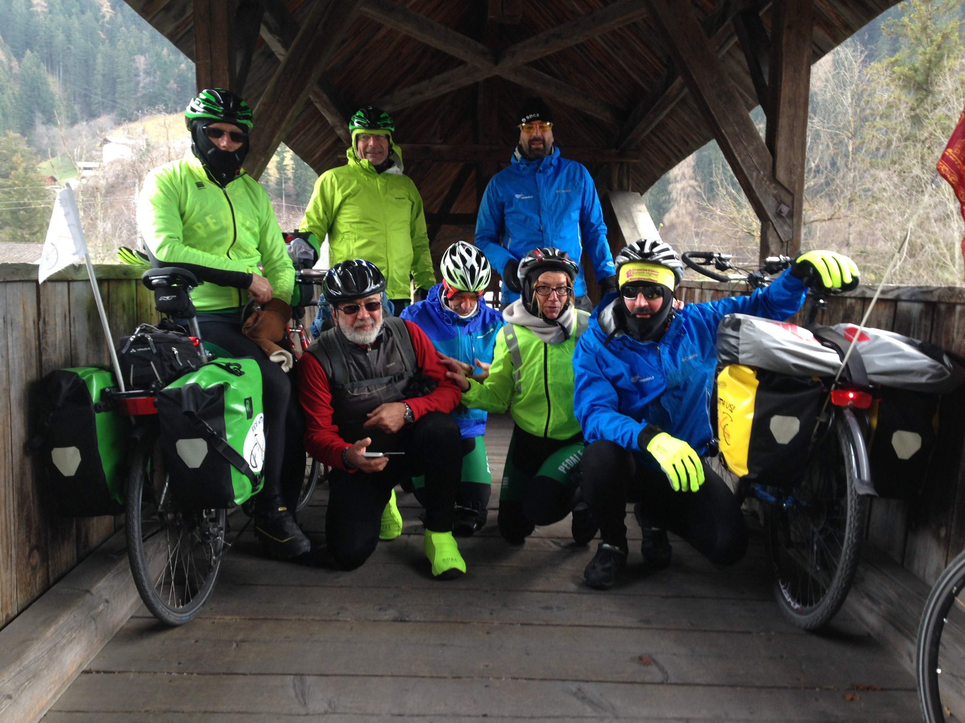
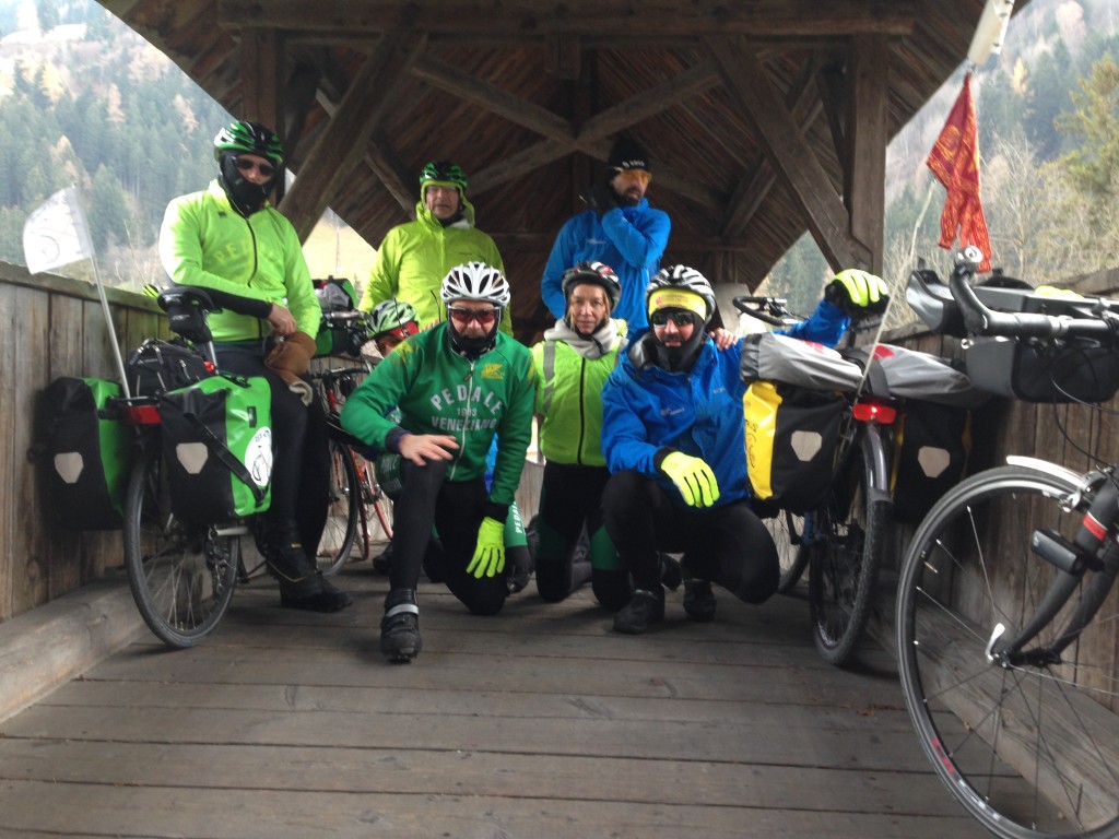
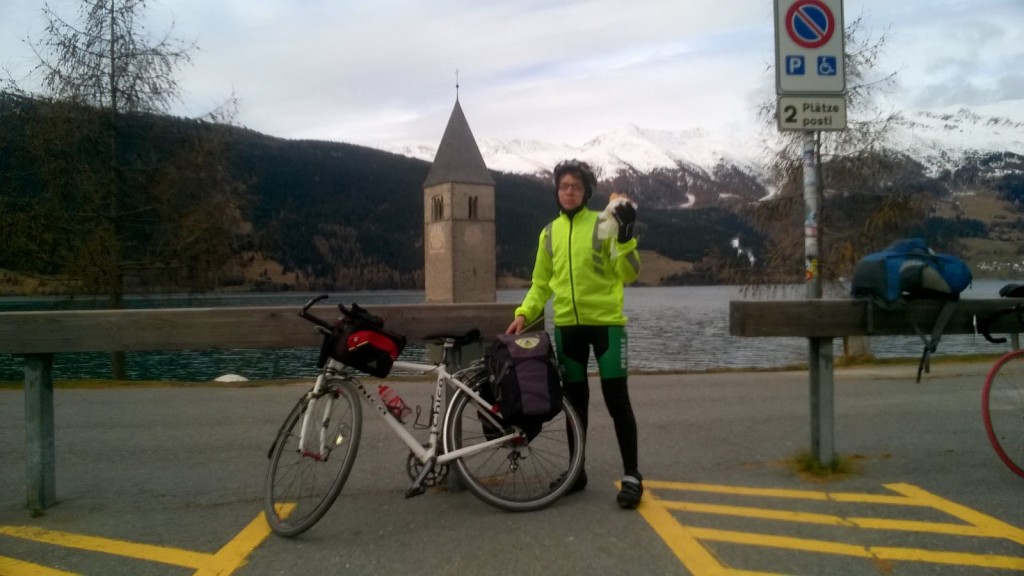
Everyone rode with his/her speed to the Resia pass and we met in the last Italian restaurant on the border with Austria for some rest and to change our clothes, before beginning our downhill ride towards Landeck with a temperature around zero degrees.
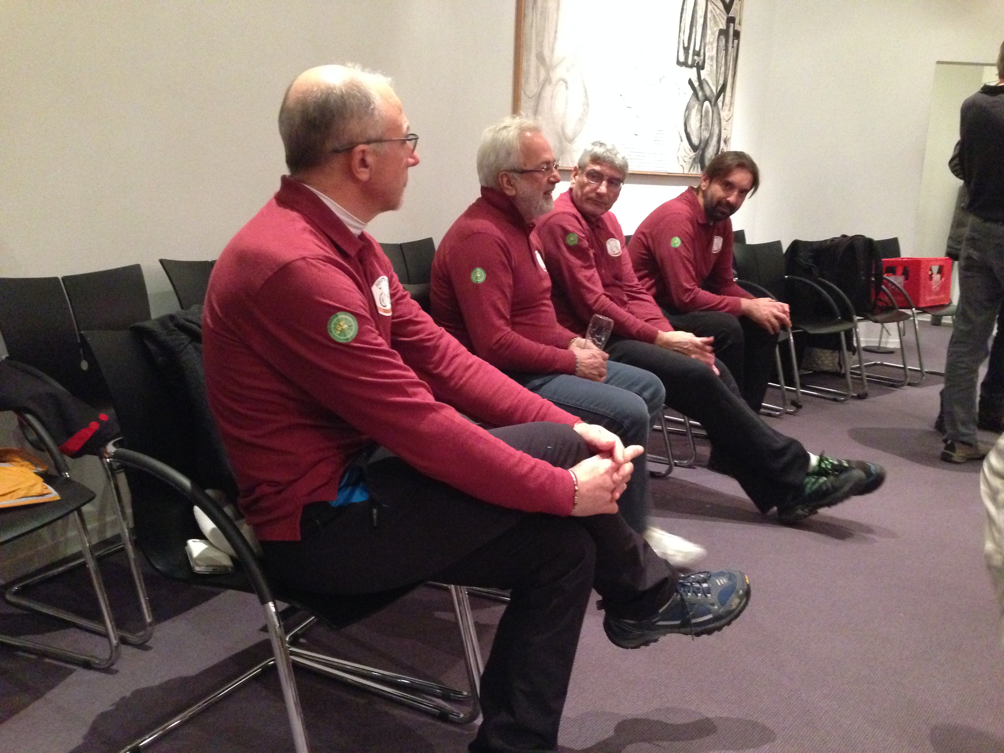
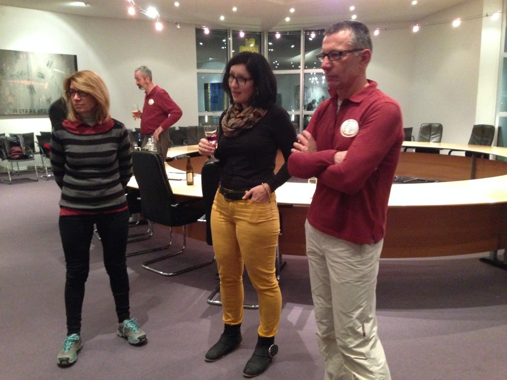
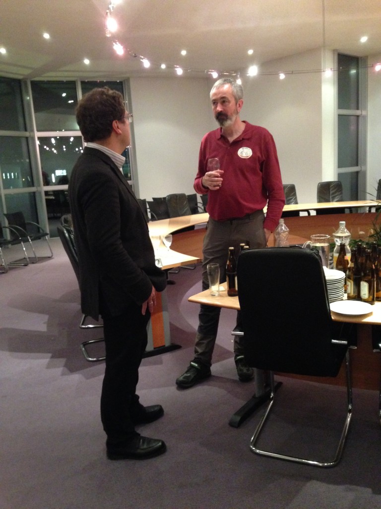
We started to cycle down the same traffic road we used to reach the Resia pass and this distracted our attention from the bicycle path. When we arrived at Nauders we found a deviation in the traffic road that forced us to a short (but intensive) uphill, made more difficult by the very warm clothes we were wearing for the downhill, and then a long downhill until the border with Switzerland in Engadine valley. The mistake to forget the bicycle path made us ride for an extra 10 km (82, instead of 71), but the landscape of the valley was very nice. We arrived quite early at our hotel, at 3 pm, for a deserved rest before the meeting with the representative of Landeck municipality. We were warmly received by the Mayor Wolfgang Jörg, the Mayor assistant for the environment Jakob Egg, the manager for environment Flatschacher Benno and other employees in the municipality as Hammerle Evelin and Schnegg Cristoph.
Egg explained us some interesting activities regarding Landeck and the climate. First of all the municipality has been part of the Mayor alliance for the climate for 20 years (1996).
He also explained that all Tirol region is now mapped in function of the different levels of sun exposition, in order to show where it is more convenient from the energetic point of view to install photovoltaic panels.
When we came back to the hotel it started to snow and we went to bed without knowing if tomorrow it will be possible to ride to Arlborg pass.